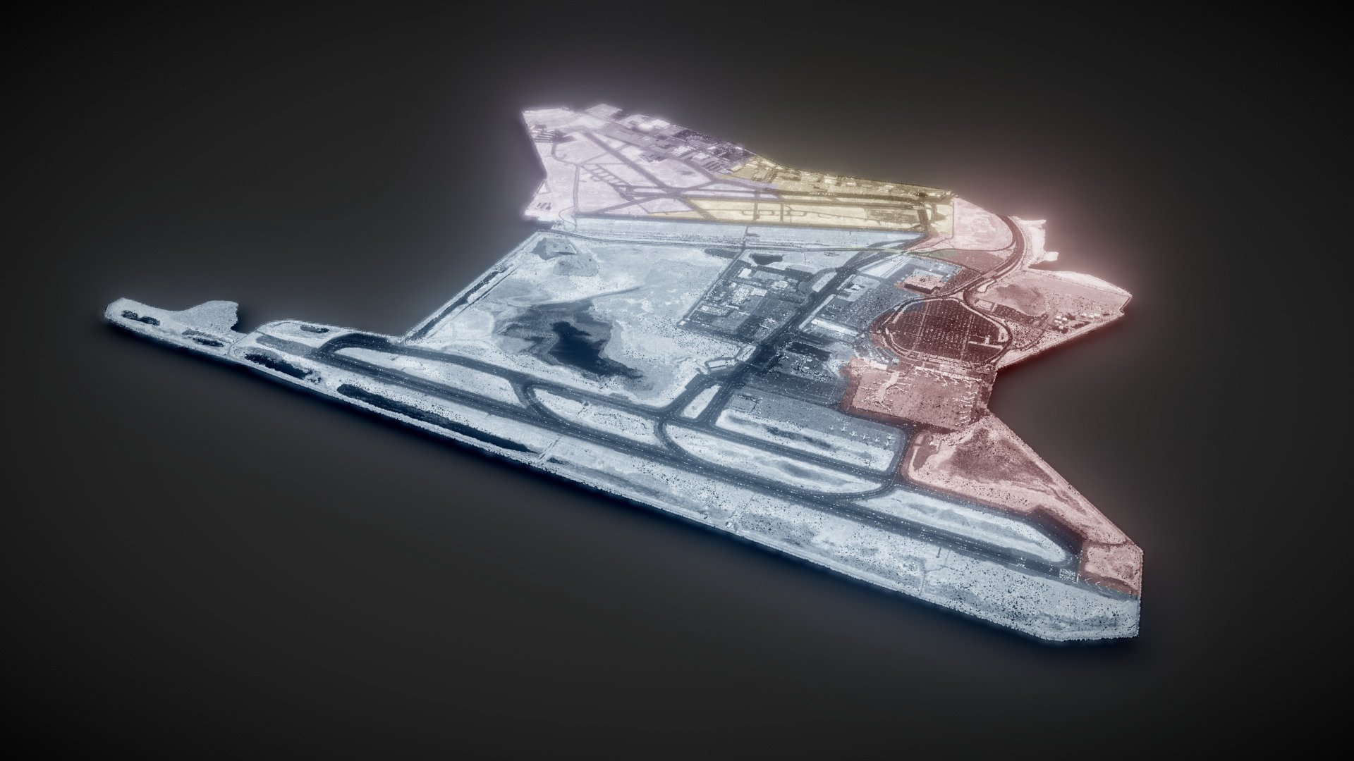
Oakland Airport Watersheds
sketchfab
The LiDAR model of Oakland Airport is a vital component in understanding the surrounding watersheds. A vast array of LiDAR data is available online, courtesy of the NOAA website. The specific dataset utilized for this model originates from https://coast.noaa.gov/htdata/lidar1_z/geoid12a/data/1406/.
Download Model from sketchfab
With this file you will be able to print Oakland Airport Watersheds with your 3D printer. Click on the button and save the file on your computer to work, edit or customize your design. You can also find more 3D designs for printers on Oakland Airport Watersheds.
