North Carolina Map: 6 Inch-V2
sketchfab
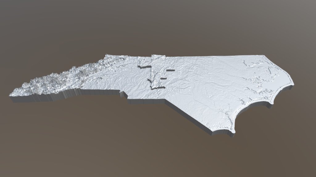
North Carolinians Rely on this Comprehensive Relief Map This map is a vital tool for outdoor enthusiasts and emergency responders alike. It showcases the state's diverse terrain, from the Blue Ridge Mountains to the Outer Banks. By utilizing this resource, users can pinpoint critical areas of need during natural disasters or search and rescue operations. The map highlights key features such as: * Mountainous regions * Coastal lowlands * Urban areas * Bodies of water With its detailed topography and labeling, this relief map is an invaluable asset for anyone navigating North Carolina's complex landscape.
With this file you will be able to print North Carolina Map: 6 Inch-V2 with your 3D printer. Click on the button and save the file on your computer to work, edit or customize your design. You can also find more 3D designs for printers on North Carolina Map: 6 Inch-V2.