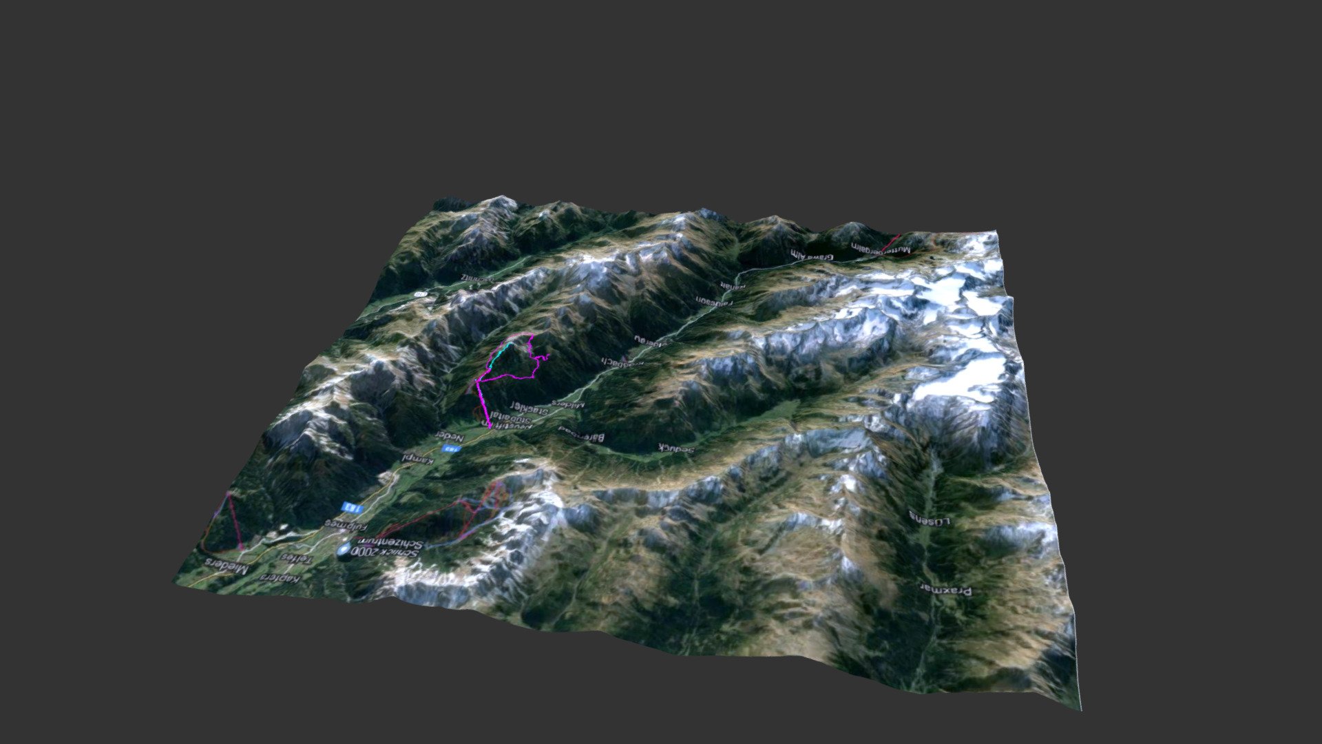
Neustift im Subaital
sketchfab
Elevation data courtesy of the U.S. Geological Survey Map data 2019 Google A topographical map of Neustift im Subaital, near Innsbruck in Austria, showcases precise elevation details courtesy of the U.S. Geological Survey and enhanced by Google's high-resolution map imagery. The model was developed from data collected during the Shuttle Radar Topography Mission and seamlessly merged with Google maps' real-time imaging capabilities, providing a comprehensive visual representation of the terrain. Two GPS tracks from my walks in that area are illustrated in cyan and magenta lines, giving users a firsthand look at the trail routes and landscapes I've explored. For detailed information on how this 3D model was created, visit my blog to access the following articles: https://theretiredengineer.wordpress.com/2019/03/24/3d-model-from-shuttle-radar-topography-mission-srtm-data/ https://theretiredengineer.wordpress.com/2019/04/07/landsat-data-overlay-for-3d-models/ https://theretiredengineer.wordpress.com/2019/07/28/srtm-data-take-2/
With this file you will be able to print Neustift im Subaital with your 3D printer. Click on the button and save the file on your computer to work, edit or customize your design. You can also find more 3D designs for printers on Neustift im Subaital.
