Mt Richmond and McLennan Hills volcanoes 2 1940
sketchfab
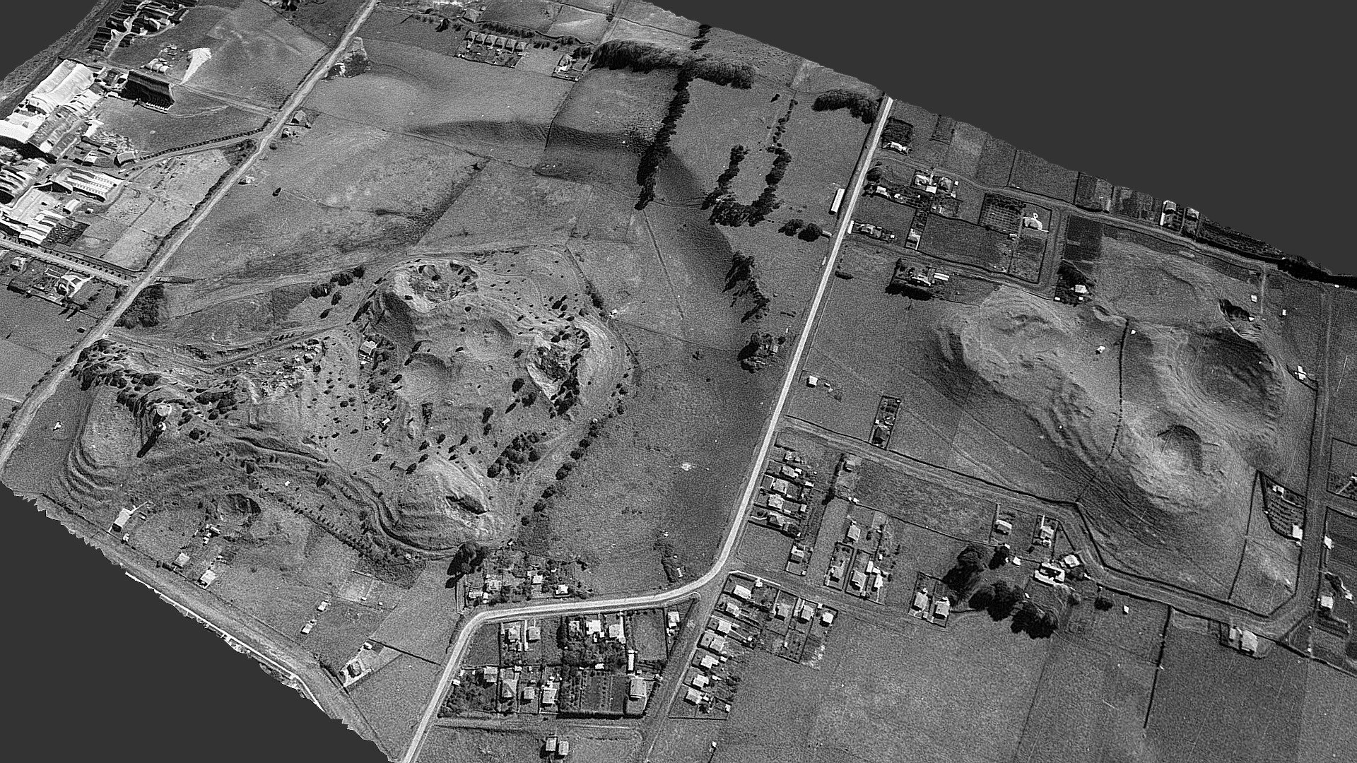
Mount Richmond or Otahuhu, and McLennan Hills, volcanic scoria cones and Maori hillforts stood tall in 1940 before the McLennan Hills were quarried away. Otahuhu is named after Tahuhu, a renowned Maori chief who established a thriving settlement there over seven centuries ago. Strategically situated local scoria cones served as defendable hillforts, boasted fertile soil ideal for cultivating crops and lay adjacent to a vital canoe portage route across the narrowest part of the Auckland isthmus. This aerial view captures a broader area, showcasing both coastlines. A 3D model generated from photos processed using photogrammetry software 3DF Zephyr v4.351, which compiled five images into a detailed landscape.
With this file you will be able to print Mt Richmond and McLennan Hills volcanoes 2 1940 with your 3D printer. Click on the button and save the file on your computer to work, edit or customize your design. You can also find more 3D designs for printers on Mt Richmond and McLennan Hills volcanoes 2 1940.