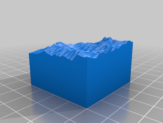
Mt. Langley
thingiverse
The terrain of Mt. Langley is accurately represented on a topographical map, which reveals every slope and incline that make up this unique mountainous formation. Each contour line is meticulously crafted to convey the precise geography of this impressive landmark. From the rugged peak to the rolling base, every subtle change in elevation is painstakingly detailed for easy navigation and visualization purposes. The 3D representation offered by this type of map gives users an immersive understanding of the mountain's layout and provides invaluable insights into its various landscapes and elevations. Whether planning a climb or simply admiring from afar, a topographical map is essential for appreciating Mt. Langley in all its natural glory.
With this file you will be able to print Mt. Langley with your 3D printer. Click on the button and save the file on your computer to work, edit or customize your design. You can also find more 3D designs for printers on Mt. Langley.
