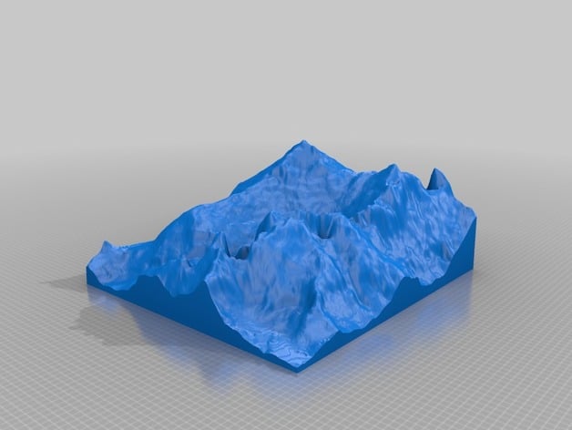
Mt. Everest Western Flank Approach
thingiverse
The model showcases Mt. Everest's Western flank, with a peak at 8848 meters and a lowest point of 5294 meters. It covers an area of 64 square kilometers and was created using a program in development, relying on the GMRT dataset (http://www.marine-geo.org/portals/gmrt/) and GeoMapApp interface (http://www.geomapapp.org).
Download Model from thingiverse
With this file you will be able to print Mt. Everest Western Flank Approach with your 3D printer. Click on the button and save the file on your computer to work, edit or customize your design. You can also find more 3D designs for printers on Mt. Everest Western Flank Approach.
