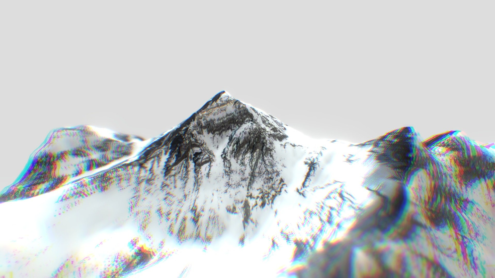
Mount Everest
sketchfab
Xavier Fischer is the mastermind behind these incredible creations. Check out his work on Sketchfab at https://sketchfab.com/xfischer. The terrain was brought to life using the ELEVATION API, which can be explored further here: https://elevationapi.com/playground_3dbbox. The DEM Net Elevation API is the real MVP - learn more about it at https://elevationapi.com. A big shoutout goes to NASADEM for providing the Digital Elevation Model, available here: https://doi.org/10.5067/MEaSUREs/NASADEM/NASADEM_HGT.001. The visuals are enhanced with Esri World Imagery - check it out at https://services.arcgisonline.com/ArcGIS/rest/services/World_Imagery/MapServer. This awesome tool was discovered on the Sketchfab forum and can turn a map into a 3D model in no time!
With this file you will be able to print Mount Everest with your 3D printer. Click on the button and save the file on your computer to work, edit or customize your design. You can also find more 3D designs for printers on Mount Everest.