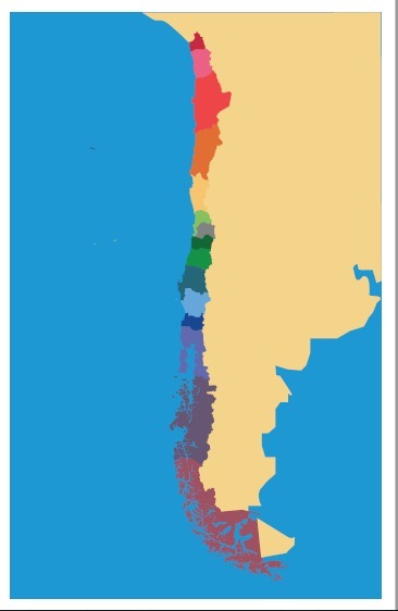
Montessori Country Puzzle Map of Chile for laser cutting
thingiverse
Montessori Geography: Country Puzzle Map of Chile This is a simplified continental South American map that showcases the unique geography of Chile. As a tri-continental country, Chile spans across three distinct regions: Antarctic territory, Oceania (Easter Island), and South America. To reflect this new regional subdivision of Chile, we have created an updated map for your use. This PDF control graphic features three versions to suit your needs: * Mute: A blank version for customization * Labeled: A version with country names and geographical labels * Colors: A vibrant version that can be printed on adhesive paper to stick onto foam or cardboard Perfect for DIY projects, this puzzle map is ideal for creating continents puzzles in wood, laser, or other materials. Use it as a control chart to teach geography skills and spark curiosity about the world's diverse regions.
With this file you will be able to print Montessori Country Puzzle Map of Chile for laser cutting with your 3D printer. Click on the button and save the file on your computer to work, edit or customize your design. You can also find more 3D designs for printers on Montessori Country Puzzle Map of Chile for laser cutting.
