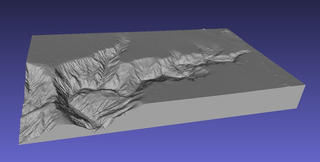
Monterey Bay - California
thingiverse
Monterey Bay. This is generated by software I developed to convert NOAA data into an STL file, following a similar process as my SRTM2STL software. The data defines the map boundaries, dimensions, area, and vertical scale. Total Area (approximate): 453.4 Square Kilometers (27.4 kilometers x 16.5 kilometers) Lower Left: 36.727 degrees latitude / -122.085 degrees longitude Lower Right: 36.727 degrees latitude / -122.392 degrees longitude Upper Right: 36.876 degrees latitude / -122.392 degrees longitude Upper Left: 36.876 degrees latitude / -122.085 degrees longitude Vertical Scale: 1.5
With this file you will be able to print Monterey Bay - California with your 3D printer. Click on the button and save the file on your computer to work, edit or customize your design. You can also find more 3D designs for printers on Monterey Bay - California.
