Modelo Digital de Terreno de Balsas-MA
sketchfab
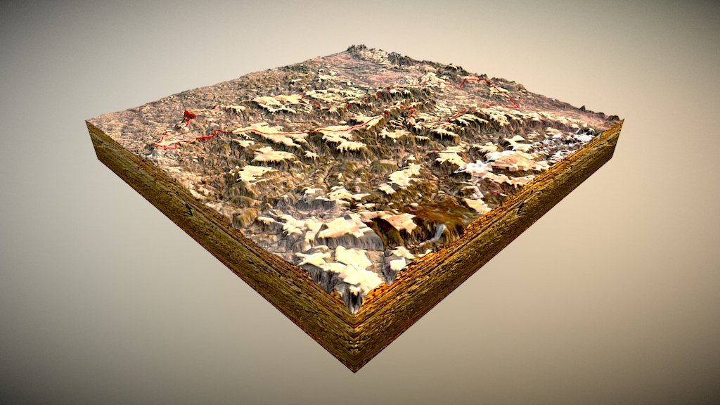
This digital model is a representation of the surface of Balsas municipality and its surroundings, highlighting primarily the hydrographic basin of Balsas River and the "chapadões" used in agriculture. These flat areas are able to achieve better soil preparation due to low slope, allowing for heavy machinery usage. Digital terrain models allow us to model a region's surface, emphasizing landscape aspects mainly related to relief.
Download Model from sketchfab
With this file you will be able to print Modelo Digital de Terreno de Balsas-MA with your 3D printer. Click on the button and save the file on your computer to work, edit or customize your design. You can also find more 3D designs for printers on Modelo Digital de Terreno de Balsas-MA.