MiyanomaeKofun_Fukushima_jp(Ver1.0)
sketchfab
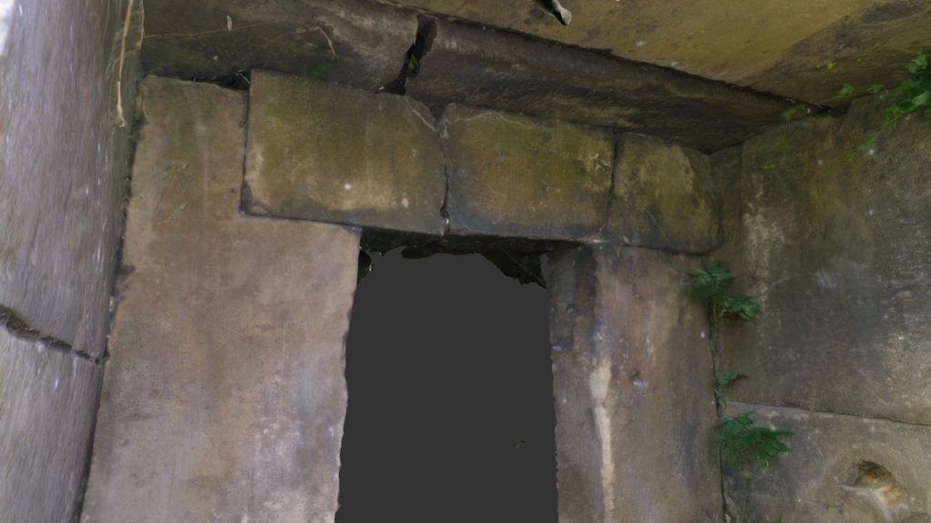
A detailed 3D model of the MiyanomaeKofun has been created. This ancient structure is situated in Tamakawa village, within Fukushima Prefecture, Japan. Its precise coordinates are 37.200298 degrees north latitude and 140.406283 degrees east longitude. A link to a Google Maps location has been provided: https://goo.gl/maps/kBvuyhaPaKU2. The 3D model was generated using "Photoscan Standard," and the scanning process took place on September 10th, 2016.
Download Model from sketchfab
With this file you will be able to print MiyanomaeKofun_Fukushima_jp(Ver1.0) with your 3D printer. Click on the button and save the file on your computer to work, edit or customize your design. You can also find more 3D designs for printers on MiyanomaeKofun_Fukushima_jp(Ver1.0).