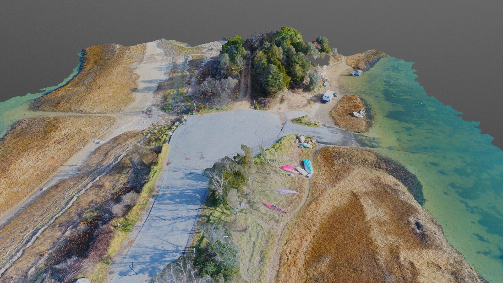
Mill Pond Road Simplified 3d Mesh
sketchfab
Drone-based Mapping Surveys Revolutionize Terrain Assessment Utilizing cutting-edge aerial technology, topographic surveys are now more efficient and accurate than ever. By deploying drones equipped with advanced sensors and GPS systems, professionals can rapidly collect high-resolution data on terrain elevation, slope, and other critical factors. Incorporating drone-based mapping into traditional survey methods significantly enhances the speed and precision of topographic assessments. With the ability to quickly scan vast areas, drones enable experts to pinpoint specific features, such as land formations, waterways, and vegetation patterns, with unprecedented clarity. Drone-mounted cameras capture detailed images and video, which are then used in conjunction with specialized software to generate accurate 3D models of the surveyed terrain. These models can be easily manipulated, allowing for thorough analysis and visualization of complex topographic features. Furthermore, drone-based mapping reduces the need for physical site visits, minimizing environmental impact and saving valuable time for surveyors and engineers. By streamlining the survey process, drones empower professionals to make more informed decisions, drive innovation, and deliver high-quality results in a fraction of the time required by traditional methods.
With this file you will be able to print Mill Pond Road Simplified 3d Mesh with your 3D printer. Click on the button and save the file on your computer to work, edit or customize your design. You can also find more 3D designs for printers on Mill Pond Road Simplified 3d Mesh.
