Middletown CT River Elevation map
prusaprinters
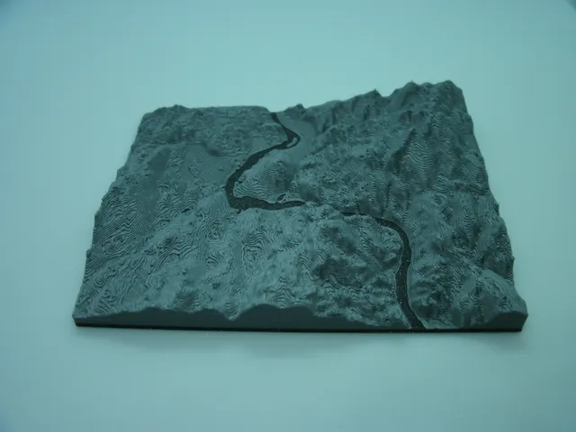
Elevation map of a section of CT around Middletown, Portland area. Looks impressive with 2 colors showing the distinction between the Connecticut river and the surrounding land.Thanks to touchterrain for converting the DEM data to stl format.
Download Model from prusaprinters
With this file you will be able to print Middletown CT River Elevation map with your 3D printer. Click on the button and save the file on your computer to work, edit or customize your design. You can also find more 3D designs for printers on Middletown CT River Elevation map.