MAV Semantic Path Planning (Synthetic)
sketchfab
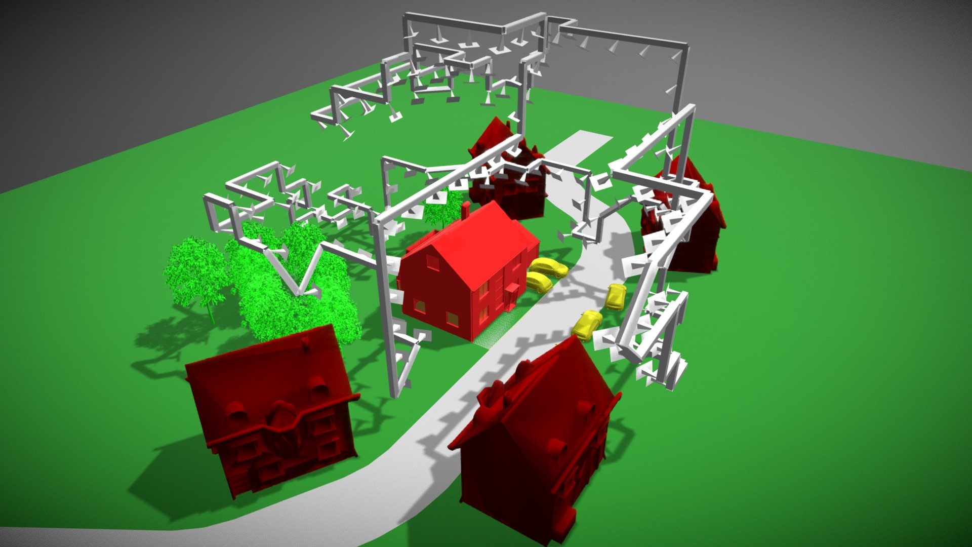
Semantic enrichment and optimized flight paths enable aerial vehicles to accurately reconstruct central buildings. Geometric obstacles and airspace restrictions are factored into the optimized path, ensuring safe clearance above other structures (red), vehicles (yellow) and designated zones above streets (gray). This approach allows for efficient camera placement and a suitable route over roads, facilitating high-resolution 3D modeling of the building. The resulting model can be visualized at https://skfb.ly/6LqQy.
With this file you will be able to print MAV Semantic Path Planning (Synthetic) with your 3D printer. Click on the button and save the file on your computer to work, edit or customize your design. You can also find more 3D designs for printers on MAV Semantic Path Planning (Synthetic).
