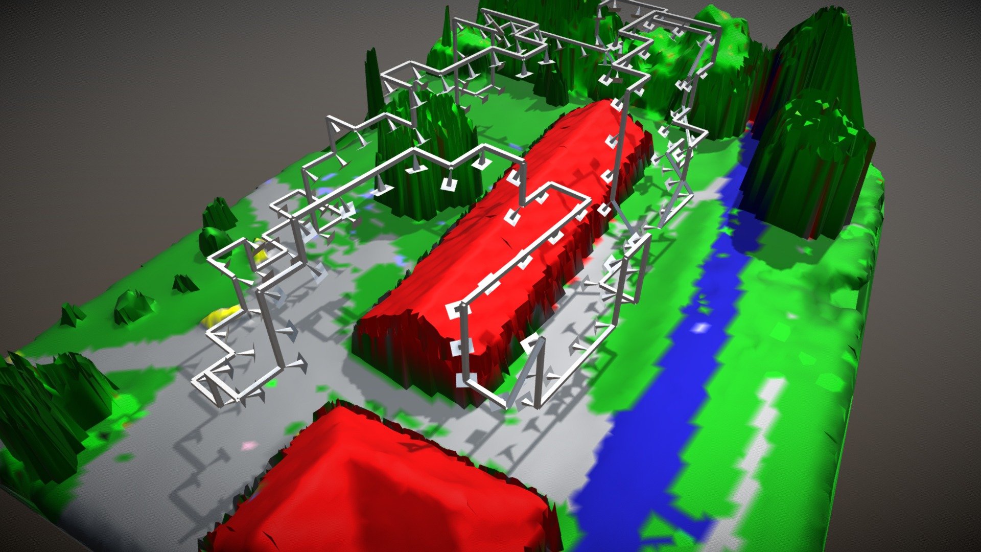
MAV Semantic Path Planning (Real Data)
sketchfab
Advanced UAV Technology Enables Precise Reconstruction of Single Objects Using Semantically-Enriched Proxy Models. The Optimized Flight Path Avoids Geometric Obstacles and Airspace Restrictions, Including Flyovers Over Buildings and Highways. High-Resolution 3D Reconstructions Can Be Achieved Through Automated Image Acquisition, As Seen In This Example: A Detailed Model Of A Farm Building (View At Https://Skfb.Ly/6L7ov).
Download Model from sketchfab
With this file you will be able to print MAV Semantic Path Planning (Real Data) with your 3D printer. Click on the button and save the file on your computer to work, edit or customize your design. You can also find more 3D designs for printers on MAV Semantic Path Planning (Real Data).
