 cults3d
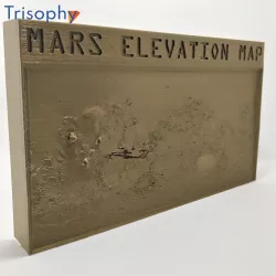
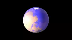
MARS ELEVATION MAP
You can find easily the Olympus Mons and the Valles Marineris but there is a lot of other interesting points to identify on the map while you explore the mars surface.
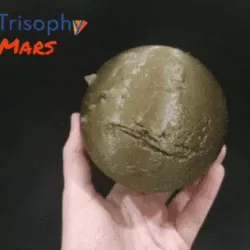
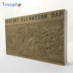
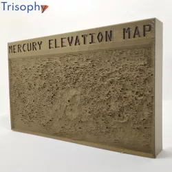
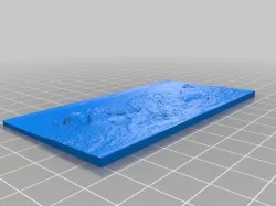
This map presents the entire Mars surface and you can identify the prominent geographic features. Elevation is exaggerated to make visible the features and even touch and feel the mars surface.
Elevation data it is based on information available on USGS Astrogeology Science Center using the digital elevation model (DEM) data derived from the Mars Orbiter Laser Altimeter (MOLA), an instrument aboard NASA’s Mars Global Surveyor spacecraft (MGS), and the High-Resolution Stereo Camera (HRSC), an instrument aboard the European Space Agency’s Mars Express (MEX) spacecraft.
You can find all the details in the following link:https://astrogeology.usgs.gov/search/map/Mars/Topography/HRSC_MOLA_Blend/Mars_HRSC_MOLA_BlendDEM_Global_200mp
Model it is created with tool.itslitho.com
Direct link to the original creator's page
Also Available On
More from trisophi

Similar Models
 cults3d
 sketchfab
 thingiverse
 cults3d
 myminifactory
 cults3d
 thingiverse
 sketchfab
Model Specifications
Frequently Asked Questions
How do I download MARS ELEVATION MAP?
Click the "View on cults3d" button above to visit the original model page on cults3d. You can download the STL file directly from the creator's page for free.
What 3D printer can I use for this model?
This STL file is compatible with most FDM 3D printers (Creality Ender 3, Prusa MK3S+, Bambu Lab, etc.) and resin printers (Elegoo, Anycubic). Check the original page for recommended print settings and materials.
Is this 3D model free to download?
Yes, this model is available as a free download on cults3d. Some creators accept tips or donations.
Can I modify this STL file?
Most STL files can be modified using free software like Blender, TinkerCAD, or Meshmixer. Check the license on the original cults3d page to see if modifications are permitted by the creator.