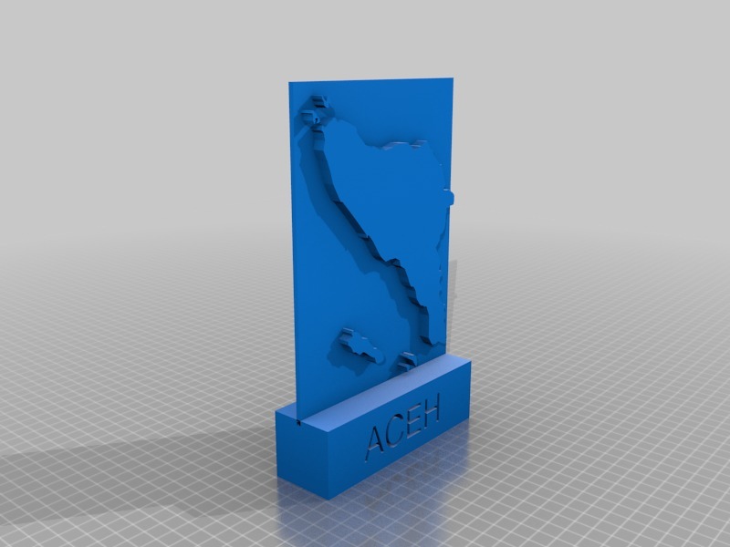
Maps of Aceh - Indonesia
thingiverse
Maps of Aceh are readily available to guide travelers and locals alike through the rich terrain of Indonesia's northernmost province. Aceh is a region known for its rugged coastline, scenic beaches, and diverse wildlife. Visitors can navigate the province's intricate network of rivers, lakes, and wetlands with ease using detailed maps that highlight key attractions. For those interested in history, Aceh's complex geography has played a significant role in shaping the region's cultural identity. Maps reveal the area's strategic location at the northern tip of Sumatra, where the Indian Ocean meets the Strait of Malacca. Detailed maps of Aceh also showcase its vibrant cities, including Banda Aceh and Lhokseumawe. These urban centers offer a glimpse into the province's unique blend of traditional and modern culture, with bustling markets, historic landmarks, and world-class amenities. Whether you're an adventure-seeker, history buff, or simply looking to explore, maps of Aceh are your key to unlocking the secrets of this captivating region in Indonesia.
With this file you will be able to print Maps of Aceh - Indonesia with your 3D printer. Click on the button and save the file on your computer to work, edit or customize your design. You can also find more 3D designs for printers on Maps of Aceh - Indonesia.
