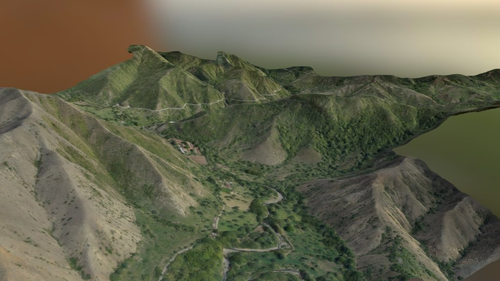
Mapping terrain
sketchfab
Humans harness 3D scanning Lidar technology to capture precise images of complex surroundings. By deploying high-resolution sensors, humans are able to create detailed digital replicas of objects and environments. This enables experts to study and analyze intricate structures with unprecedented accuracy. The application of 3D scanning Lidar has far-reaching implications for fields such as architecture, engineering, and medical research.
Download Model from sketchfab
With this file you will be able to print Mapping terrain with your 3D printer. Click on the button and save the file on your computer to work, edit or customize your design. You can also find more 3D designs for printers on Mapping terrain.
