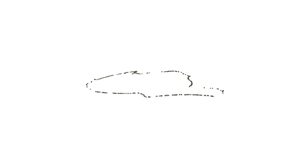
mapping central park
sketchfab
I conducted an experiment using Project Tango and RTAB Map to chart a course through Central Park. A few frames were dropped along the way, and by the time I looped back around, the location had shifted slightly off track. Some of the elevation changes were successfully captured when I was able to detect vertical surfaces like trees, but these readings disappeared when all I had to map against was the ground surface.
Download Model from sketchfab
With this file you will be able to print mapping central park with your 3D printer. Click on the button and save the file on your computer to work, edit or customize your design. You can also find more 3D designs for printers on mapping central park.
