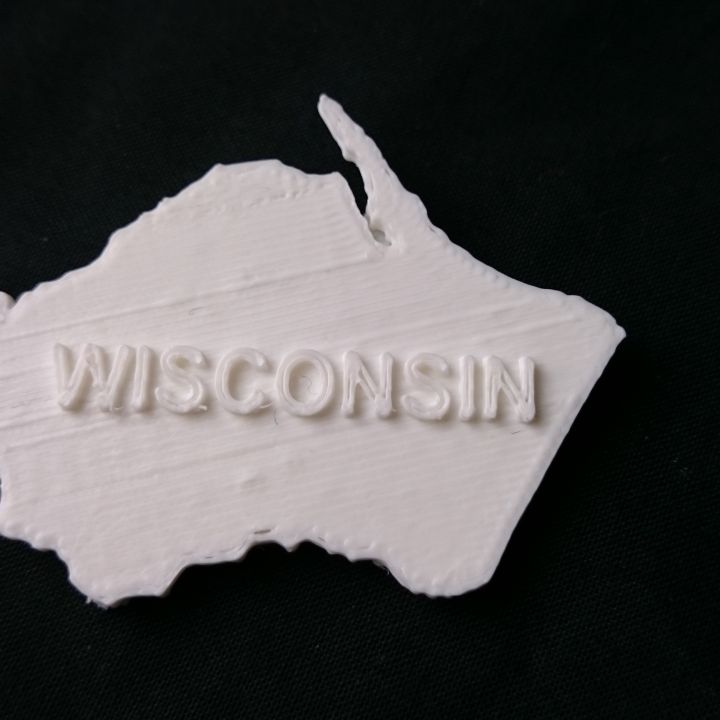
Map of Wisconsin
myminifactory
Wisconsin on a Map - A Comprehensive Guide to the Badger State's Geography. Located in the north-central United States, Wisconsin is the 23rd largest state by land area and has a total population of approximately 5.9 million people as of the last census. The state capital, Madison, is situated in southern Wisconsin, near the shores of Lake Monona and Lake Mendota. Wisconsin's terrain varies greatly, with the north being mostly forested with millions of acres of woodland, while the south has more rolling hills and agricultural lands. In fact, the state is often referred to as "America's Dairyland" due to its extensive dairy farms that supply milk and cheese products across the country. In terms of climate, Wisconsin experiences cold winters with heavy snowfall and mild summers with warm temperatures. The state's geography plays a significant role in determining its weather patterns, with Lake Michigan influencing temperature and precipitation levels. One of the most notable geographical features in Wisconsin is the Great River Road, which follows along the Mississippi River as it flows through the state. This scenic route offers breathtaking views of the river and surrounding landscape. Wisconsin has several major cities, including Milwaukee, Green Bay, and Kenosha, each with its own unique character and attractions. The state is also home to numerous national parks, forests, and wildlife refuges, providing ample opportunities for outdoor recreation and nature exploration. Overall, Wisconsin's diverse geography makes it an attractive destination for tourists and residents alike, offering something for everyone from scenic beauty to cultural experiences.
With this file you will be able to print Map of Wisconsin with your 3D printer. Click on the button and save the file on your computer to work, edit or customize your design. You can also find more 3D designs for printers on Map of Wisconsin.