Map of Venezuela
myminifactory
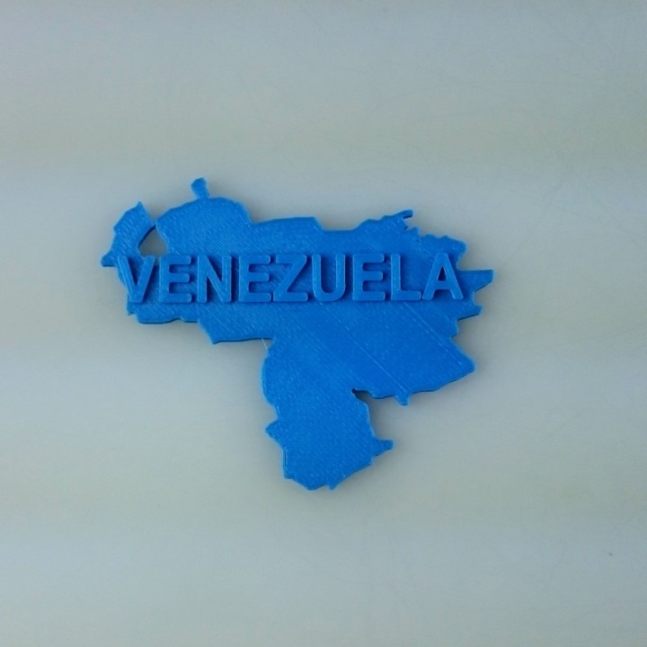
A sprawling 2D representation of Venezuela unfolds like a parchment, its borders etched with precision and care. The Caracas metropolitan area rises from the bottom left corner, a vibrant hub of activity that pulses with life. As one's gaze travels northwards, the Andes mountain range stretches across the map, its peaks reaching for the sky like jagged teeth. In the northwest, the coastal plains give way to the Gulf of Venezuela, a vast expanse of turquoise water that laps gently against the shore. The Orinoco Delta bursts forth from the map's center, a majestic network of rivers and streams that feed into the mighty Orinoco River itself. The Guiana Shield region sprawls across the top right corner, its ancient rocks bearing witness to eons of geological history. From here, the landscape gives way to the Gran Sabana, a table-flat expanse of grasslands that stretches as far as the eye can see. Throughout this 2D world, the diversity of Venezuela's landscapes is on full display – from the towering mountains to the lush rainforests, and from the sun-kissed beaches to the vast expanses of savannah. Each feature is carefully rendered in exquisite detail, making for a truly immersive experience that invites exploration and discovery.
With this file you will be able to print Map of Venezuela with your 3D printer. Click on the button and save the file on your computer to work, edit or customize your design. You can also find more 3D designs for printers on Map of Venezuela.