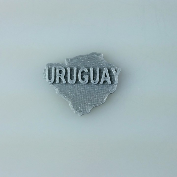
Map of Uruguay
myminifactory
Uruguay is a rectangular country situated in the southeastern part of South America. It shares borders with Argentina to the west and southwest, and Brazil to the north and northeast. The coastline stretches for approximately 628 kilometers along the Atlantic Ocean. Uruguay's terrain varies from flat plains to rolling hills, with an average elevation of around 40 meters above sea level. The country has a total area of about 176,000 square kilometers.
Download Model from myminifactory
With this file you will be able to print Map of Uruguay with your 3D printer. Click on the button and save the file on your computer to work, edit or customize your design. You can also find more 3D designs for printers on Map of Uruguay.
