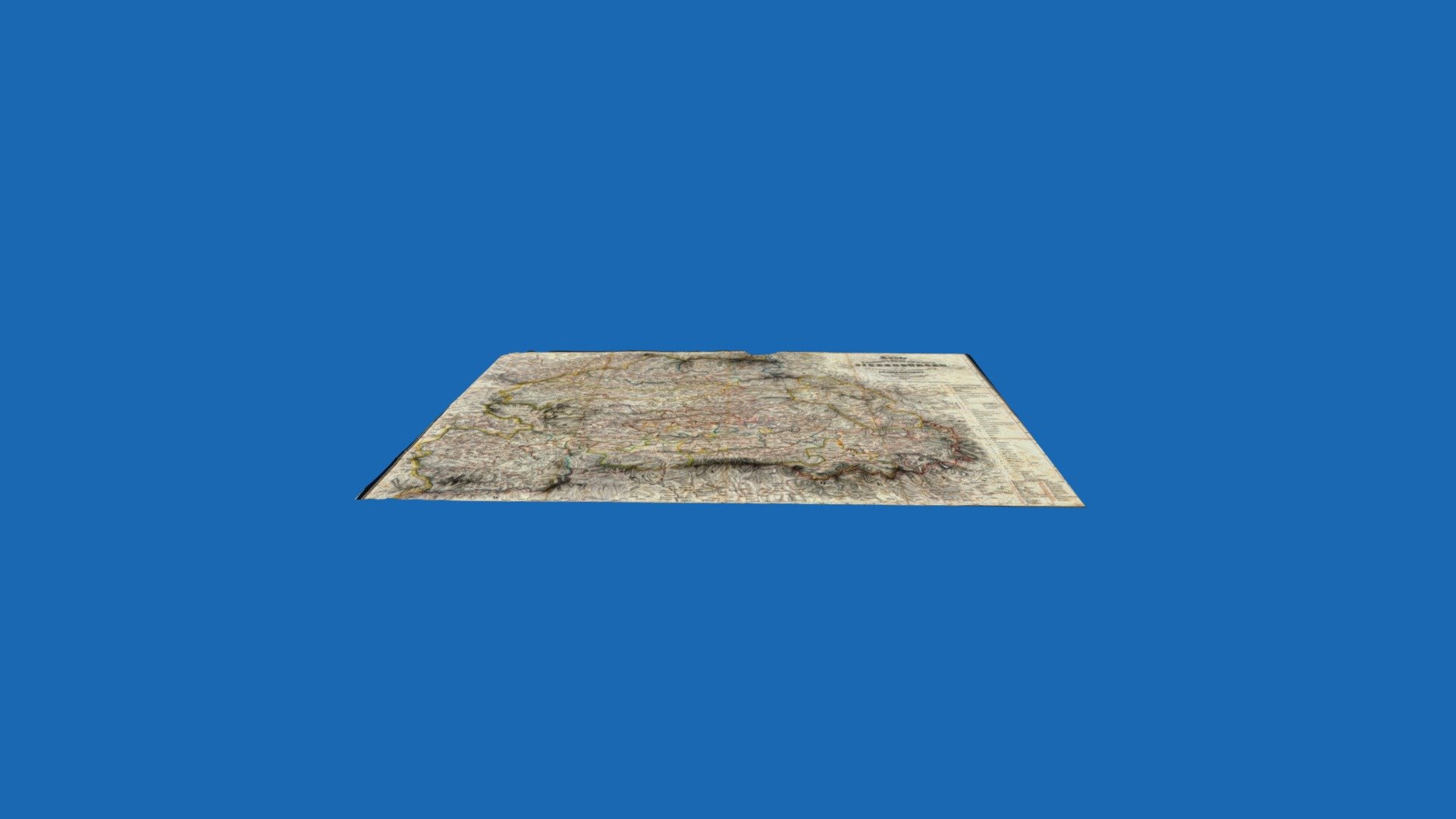
MAP OF TRANSYLVANIA 1862
sketchfab
Digital Terrain Map of Transylvania Combined with Historical Overlay of the Region\nResolution: Approximately 53 meters\nCoordinate Reference System: Stereo70 and DP70 Projection\nOverlay Source: Kartha von Siebenburger, Published in 1862
Download Model from sketchfab
With this file you will be able to print MAP OF TRANSYLVANIA 1862 with your 3D printer. Click on the button and save the file on your computer to work, edit or customize your design. You can also find more 3D designs for printers on MAP OF TRANSYLVANIA 1862.
