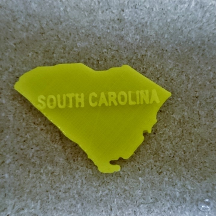
Map of South Carolina
myminifactory
A 2D map of South Carolina reveals a state that's rich in history and scenic beauty, where the Lowcountry region meets the rolling hills of the Midlands. The Atlantic coastline stretches along the eastern edge, punctuated by picturesque beaches and bustling ports like Charleston. As you move inland, the landscape shifts to a tapestry of forests, rivers, and lakes, providing a haven for outdoor enthusiasts and nature lovers alike. From the Blue Ridge Mountains in the northwest to the Cape Romain National Wildlife Refuge in the southeast, South Carolina's diverse geography is a treasure trove waiting to be explored.
With this file you will be able to print Map of South Carolina with your 3D printer. Click on the button and save the file on your computer to work, edit or customize your design. You can also find more 3D designs for printers on Map of South Carolina.
