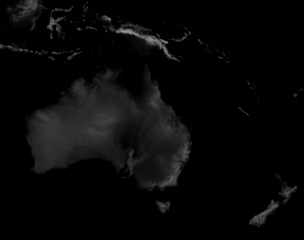
Map of Oceania
prusaprinters
Heightmap of Oceania adjusted using the equation 100(1/cos(latitude)) to get a height factor of 109% from the average latitude of 23.5 from the top of the map at the equator, being 0, and the bottom tip of the South Island of New Zealand, being 47, this is to offset the stretching factor that the equirectangular projection has at northern and southern latitudes. Gcode that I used on my pretty stock Ender 3 V2 Neo has been included. Let me know is there's a specific geographic region that you'd like a zoomed in .stl made, I'll try to get around to doing it as it doesn't take much time to make one of these. One last note, be sure to sink the model down slightly into the print bed in your software because the bottom isn't perfectly flat, and I can't be bothered fixing it when it's that easy of a work around.
With this file you will be able to print Map of Oceania with your 3D printer. Click on the button and save the file on your computer to work, edit or customize your design. You can also find more 3D designs for printers on Map of Oceania.
