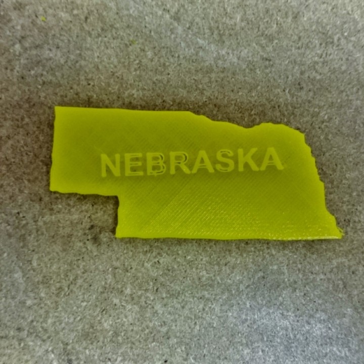
Map of Nebraska
myminifactory
Here is a detailed layout of Nebraska's geographical boundaries: Nebraska's 2-dimensional visual representation depicts its north-south axis spanning approximately 460 miles from the North Dakota border to Colorado, while its east-west axis stretches roughly 210 miles from the Missouri River in the east to the Kansas border.
Download Model from myminifactory
With this file you will be able to print Map of Nebraska with your 3D printer. Click on the button and save the file on your computer to work, edit or customize your design. You can also find more 3D designs for printers on Map of Nebraska.
