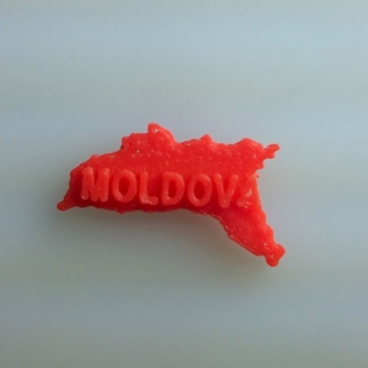
Map of Moldova
myminifactory
Moldova is charted out on a flat surface, its borders carefully drawn and defined. The country's territory is laid bare, a visual representation of its geography and layout. Every town, village, and city is pinpointed with precision, their locations easily discernible from the map's clear markings. The terrain itself is visible, from the rolling hills to the dense forests that cover much of the land. A 2D projection of Moldova's physical features provides a comprehensive understanding of its topography.
Download Model from myminifactory
With this file you will be able to print Map of Moldova with your 3D printer. Click on the button and save the file on your computer to work, edit or customize your design. You can also find more 3D designs for printers on Map of Moldova.
