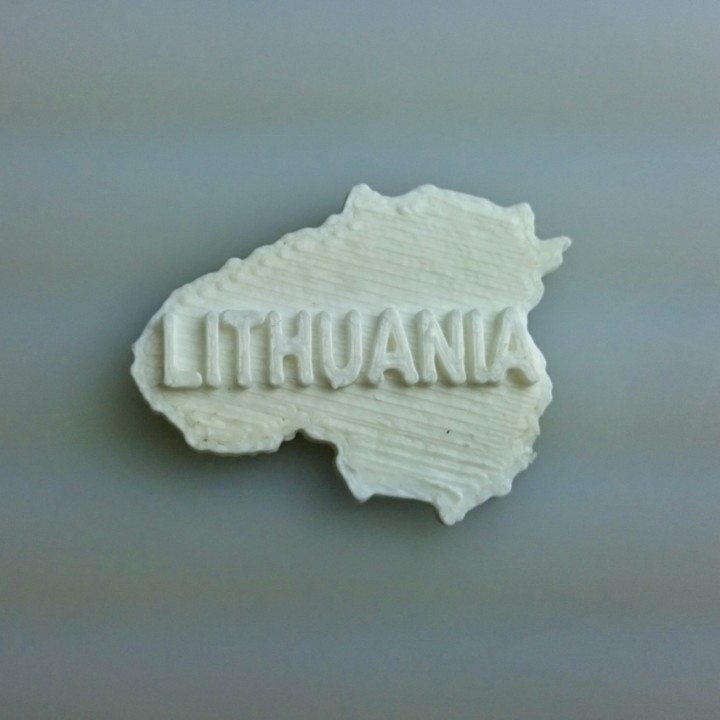
Map of Lithuania
myminifactory
Lithuania is a country that spans across an area of approximately 65,300 square kilometers. Its geographical layout features a diverse mix of landscapes including forests, hills, and coastal plains. The terrain gradually rises towards the north with an average elevation of about 50 meters above sea level.
Download Model from myminifactory
With this file you will be able to print Map of Lithuania with your 3D printer. Click on the button and save the file on your computer to work, edit or customize your design. You can also find more 3D designs for printers on Map of Lithuania.