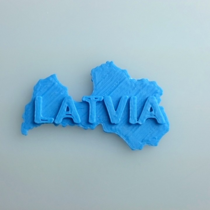
Map of Latvia
myminifactory
Latvia Unfolds: A Dynamic Map in Two Dimensions Latvia takes shape on a flat canvas, a 2D representation of its borders and geography. The country's outline is clear, defined by the intersection of latitude and longitude lines. The map's surface displays the nation's various regions, each with its own unique characteristics. From the coastal plains to the inland hills, Latvia's terrain unfolds before the viewer's eyes. In this two-dimensional representation, the country's capital city, Riga, is a prominent feature. The city's grid-like streets and buildings are depicted in detail, giving the impression of a bustling metropolis. The surrounding landscape is dotted with lakes, forests, and rolling hills, each one adding texture to the map's surface. The 2D map also highlights Latvia's connections to neighboring countries. The borders with Estonia and Lithuania are clearly marked, showcasing the nation's position in the Baltic region. This flat representation of Latvia provides a new perspective on the country's geography and its relationships with its neighbors.
With this file you will be able to print Map of Latvia with your 3D printer. Click on the button and save the file on your computer to work, edit or customize your design. You can also find more 3D designs for printers on Map of Latvia.
