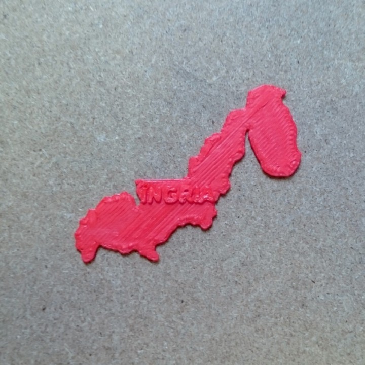
Map of Ingriya
myminifactory
Ingrity's Geography Revealed: A Comprehensive Map Unveiled The intricate topography of Ingrity is showcased in a visually striking 2D representation, offering an immersive experience for explorers and enthusiasts alike. The detailed layout provides an accurate portrayal of the landmass, featuring various geographical features that shape the region's identity. Key Landmarks Highlighted: * Mountain Ranges: A prominent feature of Ingrity's landscape, these ranges are depicted in vivid detail, accentuating the country's unique geological characteristics. * Valleys and Canyons: Scenic valleys and canyons are skillfully rendered, emphasizing the region's natural beauty and diverse ecosystems. * Rivers and Lakes: Water bodies are accurately mapped, underscoring their significance in Ingrity's environment and economy.
With this file you will be able to print Map of Ingriya with your 3D printer. Click on the button and save the file on your computer to work, edit or customize your design. You can also find more 3D designs for printers on Map of Ingriya.
