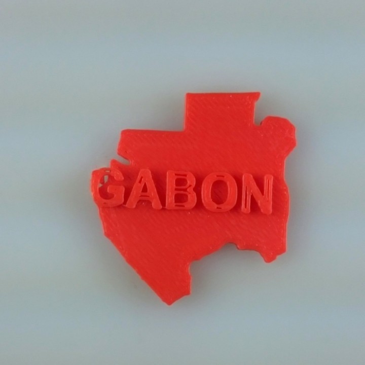
Map of Gabon
myminifactory
Gabon's Terrain Revealed: A 2D Map Located in central Africa, Gabon is a country that boasts an array of unique landscapes and diverse geography. To visualize this country's terrain, we can break it down into several key regions. The majority of Gabon consists of dense tropical rainforests, which cover nearly 80% of the land area. These forests are home to a wide variety of flora and fauna, including many endangered species. Beyond the rainforests, Gabon has several mountain ranges, each with its own distinct features. The Chaillu Mountains, located in southern Gabon, are known for their rugged terrain and steep slopes. In contrast, the Ivindo River Valley is characterized by rolling hills and scenic vistas. Gabon's coastline stretches along the Atlantic Ocean and features numerous bays, lagoons, and estuaries. The country's capital city, Libreville, is situated near a large bay that provides easy access to the sea. Overall, Gabon's 2D map reveals a country with diverse landscapes and a rich natural heritage.
With this file you will be able to print Map of Gabon with your 3D printer. Click on the button and save the file on your computer to work, edit or customize your design. You can also find more 3D designs for printers on Map of Gabon.
