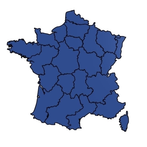
Map of France
pinshape
This 3D map of France has a size of 60cm (width) by 60cm (height), but it can be scaled to fit your needs. It is split up into 9 pieces to make it printable on machines with a smaller build volume. You need to be able to print at least 200 x 200 x 6mm if you are not scaling up or down. Countries have a height of 6mm and are surrounded by borders which are 1mm tall. Oceans aren't printed. This map can be printed in multiple colours on a regular (non-multicolour) printer. A detailed file on how to achieve this is included in the ZIP. SETTINGS I recommend printing in PLA, because it's the easiest to print. However, any material you like should work fine. This model doesn't require specific settings. You've probably printed with PLA before, use those settings that worked for your 3D printer. If you're having trouble with the first layer, try lowering your initial speed or change your Z offset. An example file can be downloaded at: https://www.thingiverse.com/th...
With this file you will be able to print Map of France with your 3D printer. Click on the button and save the file on your computer to work, edit or customize your design. You can also find more 3D designs for printers on Map of France.
