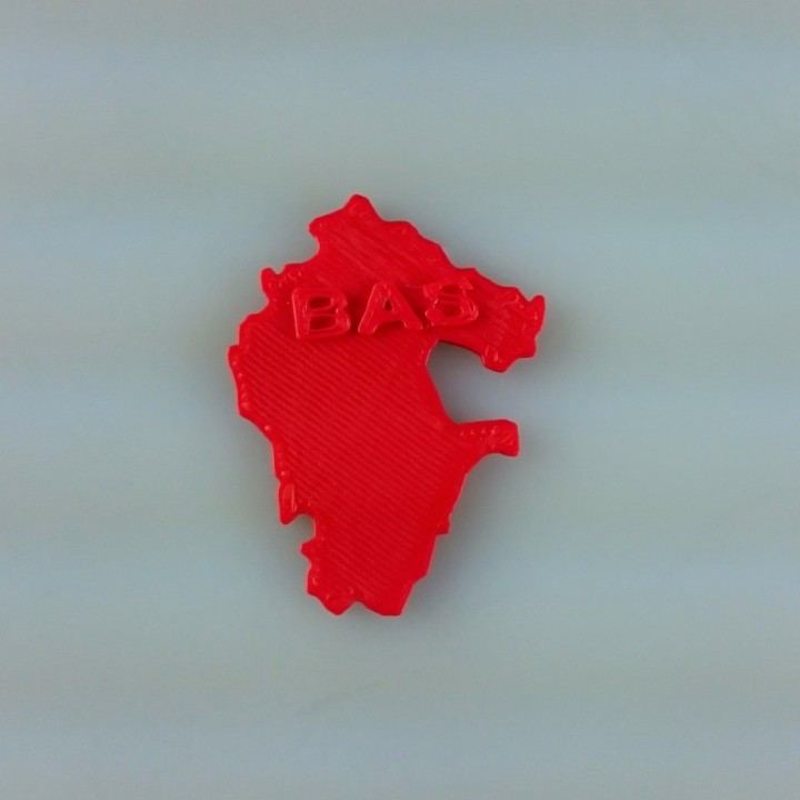
Map of Bashkortostan, Russia
myminifactory
Bashkortostan Unveiled: A Comprehensive 2D Map Situated in the heart of Russia's Ural Mountains, Bashkortostan boasts a unique blend of breathtaking landscapes and rich cultural heritage. This captivating republic offers visitors an unparalleled opportunity to immerse themselves in the region's stunning natural beauty and vibrant history. Spanning over 143,600 square kilometers, Bashkortostan is an expansive territory that encompasses diverse ecosystems and geological formations. From the snow-capped peaks of the Ural Mountains to the rolling hills of the plains, this enchanting landscape is dotted with picturesque villages, majestic forests, and serene lakes. At its core, Bashkortostan's identity is deeply rooted in the traditions and customs of its indigenous people. The Bashkir nation has inhabited this land for centuries, leaving behind a legacy of architectural marvels, folk art, and cultural festivals that continue to captivate locals and tourists alike. In addition to its natural splendor and cultural riches, Bashkortostan is also renowned for its thriving economy. The republic boasts a robust industrial sector, with major contributions from the oil and gas, coal mining, and metalworking industries. This economic dynamism has helped shape the region's modern identity, while still respecting the values and customs of its people. Whether you're drawn to the region's breathtaking landscapes, rich cultural heritage, or thriving economy, Bashkortostan is a destination that promises an unforgettable experience. Come and discover the magic of this enchanting republic for yourself!
With this file you will be able to print Map of Bashkortostan, Russia with your 3D printer. Click on the button and save the file on your computer to work, edit or customize your design. You can also find more 3D designs for printers on Map of Bashkortostan, Russia.
