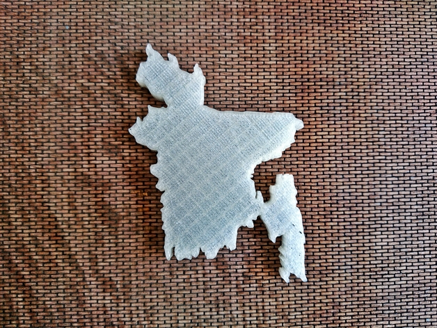
Map of Bangladesh
thingiverse
Human: Bangladesh officially known as People's Republic of Bangladesh, is located in South Asia bordered by India on its west north east, Myanmar southeast and separated from Nepal Bhutan by Chicken's Neck corridor. It faces Bay of Bengal to south and is world's eighth most populous country with over 160 million people and one of the most densely populated countries. It forms part of ethno linguistic region of Bengal along with neighboring Indian states West Bengal Tripura. Present day borders took shape during Partition of Bengal British India in 1947 when region used to be known as East Pakistan as part of newly formed state Pakistan, separated from West Pakistan by 1400 km Indian territory. Political exclusion ethnic and linguistic discrimination economic neglect led to nationalism popular agitation civil disobedience and Bangladesh Liberation War independence in 1971. After independence new state faced poverty famine political turmoil military coups restoration democracy 1991 was followed by relative calm economic progress. Bangladesh is unitary parliamentary republic with elected parliament Jatiyo Sangshad Bengalis are country's largest ethnic group along with indigenous peoples northern southeastern districts geographically dominated fertile Bengal delta world's largest delta. Four largest recognized religions in the country Islam 89% Hinduism 8% Buddhism 1% Christianity 0.5%. Bangladesh is identified Next Eleven economy achieving significant strides human social development independence progress gender equity universal primary education food production health population control.
With this file you will be able to print Map of Bangladesh with your 3D printer. Click on the button and save the file on your computer to work, edit or customize your design. You can also find more 3D designs for printers on Map of Bangladesh.
