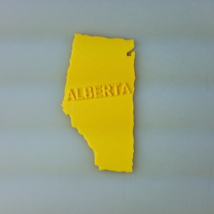
Map of Alberta
myminifactory
A 2D Map of Alberta Unfolds Alberta's geographical landscape is revealed through a vibrant two-dimensional representation, showcasing its vast terrain and diverse geography. This static image provides a unique perspective on the province's topography, allowing viewers to explore its various regions in detail. From the rolling hills of the prairies to the rugged mountains of the west, Alberta's 2D map offers an engaging visual experience that highlights its natural beauty. By examining this two-dimensional representation, one can gain a deeper understanding of Alberta's geography and appreciate its diverse landscapes.
With this file you will be able to print Map of Alberta with your 3D printer. Click on the button and save the file on your computer to work, edit or customize your design. You can also find more 3D designs for printers on Map of Alberta.
