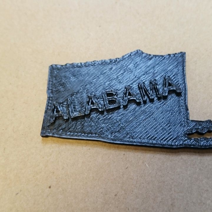
Map of Alabama
myminifactory
A Map of Alabama Unfolds Alabama, a state in the southeastern United States, is home to a diverse geography and climate. The map showcases the state's varied landscape, which includes mountains, forests, and coastal regions along the Gulf of Mexico. From the Appalachian Mountains in the northeast to the rolling hills of the Piedmont plateau in central Alabama, the terrain offers numerous opportunities for outdoor recreation.
Download Model from myminifactory
With this file you will be able to print Map of Alabama with your 3D printer. Click on the button and save the file on your computer to work, edit or customize your design. You can also find more 3D designs for printers on Map of Alabama.
