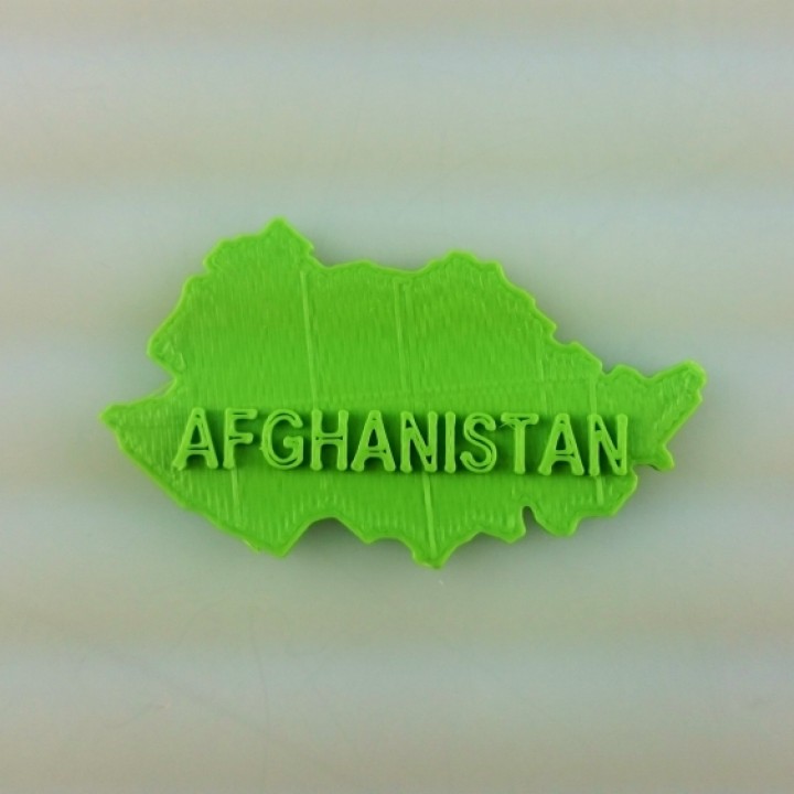
Map of Afghanistan
myminifactory
A Graphic Layout of Afghanistan The geographical layout of Afghanistan is presented in a two-dimensional display, providing an easy-to-read visual representation of the country's topography and borders. This map is a helpful tool for understanding the country's landscape and its division into various regions. The graphic display includes all of Afghanistan's provinces, cities, and notable geographical features such as mountains, rivers, and deserts. It also shows the location of major roads, highways, and international border crossings. This layout can be used to gain a better understanding of Afghanistan's geography and its regional divisions.
With this file you will be able to print Map of Afghanistan with your 3D printer. Click on the button and save the file on your computer to work, edit or customize your design. You can also find more 3D designs for printers on Map of Afghanistan.