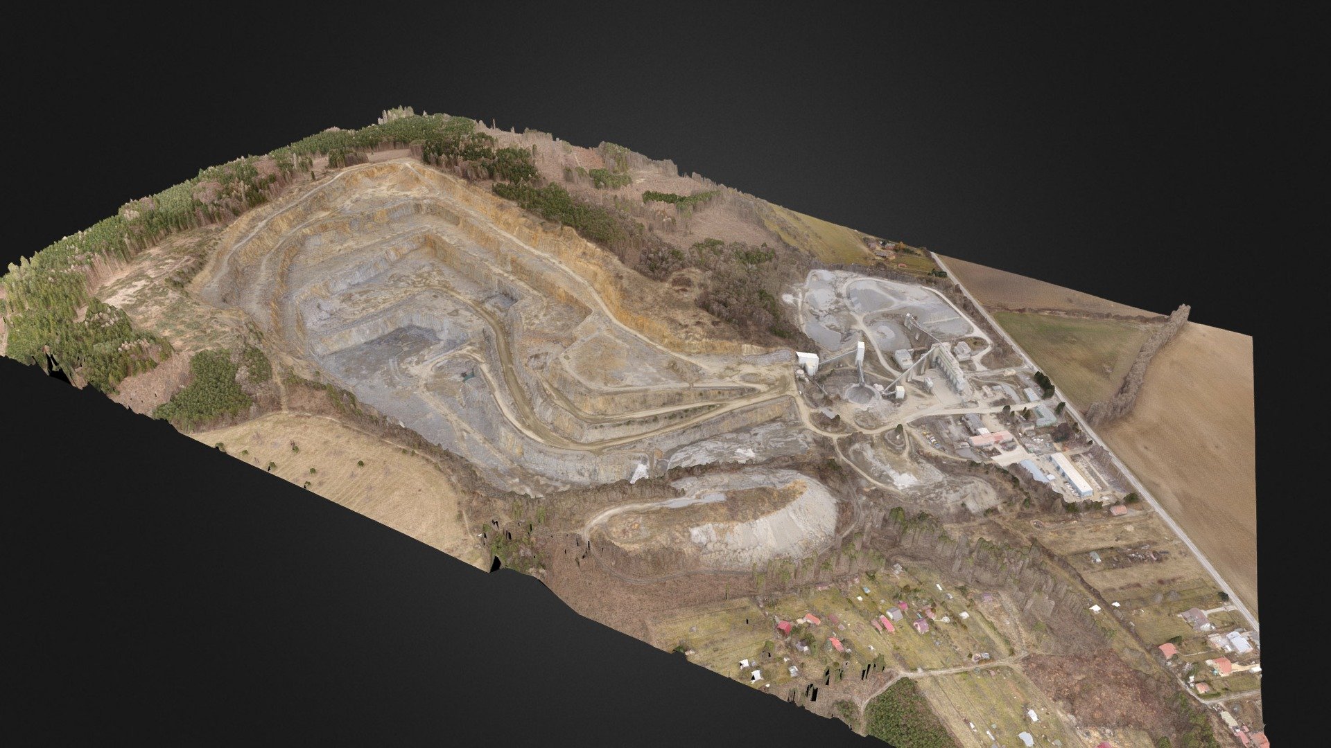
Luleč quarry, UAV aerial photogrammetry
sketchfab
Surveyors Use Accurate Maps to Calculate Land Area
Download Model from sketchfab
With this file you will be able to print Luleč quarry, UAV aerial photogrammetry with your 3D printer. Click on the button and save the file on your computer to work, edit or customize your design. You can also find more 3D designs for printers on Luleč quarry, UAV aerial photogrammetry.