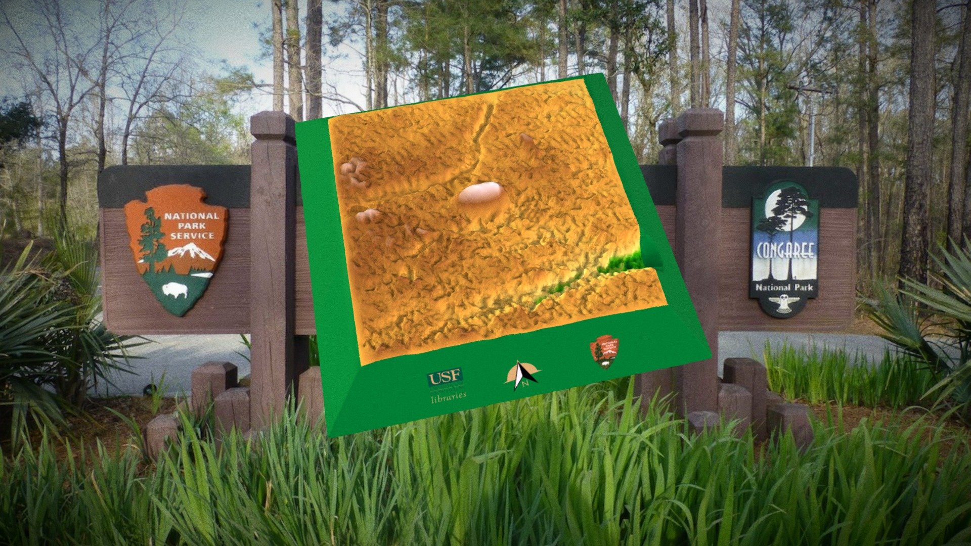
LiDAR 3D model of the Spigener Mound
sketchfab
A compact, low-lying oval-shaped rise in Congaree National Park measures around 44 by 28 feet and stands approximately 1.9 feet above the surrounding terrain. The site has been identified as a Cattle Mound on the John Cely map from 1976, situated roughly 350 feet from the riverbank and within a half-mile of another Cattle Mound and an extensive dike system associated with the Spigner old agricultural area dating back to the Antebellum Period.
Download Model from sketchfab
With this file you will be able to print LiDAR 3D model of the Spigener Mound with your 3D printer. Click on the button and save the file on your computer to work, edit or customize your design. You can also find more 3D designs for printers on LiDAR 3D model of the Spigener Mound.
