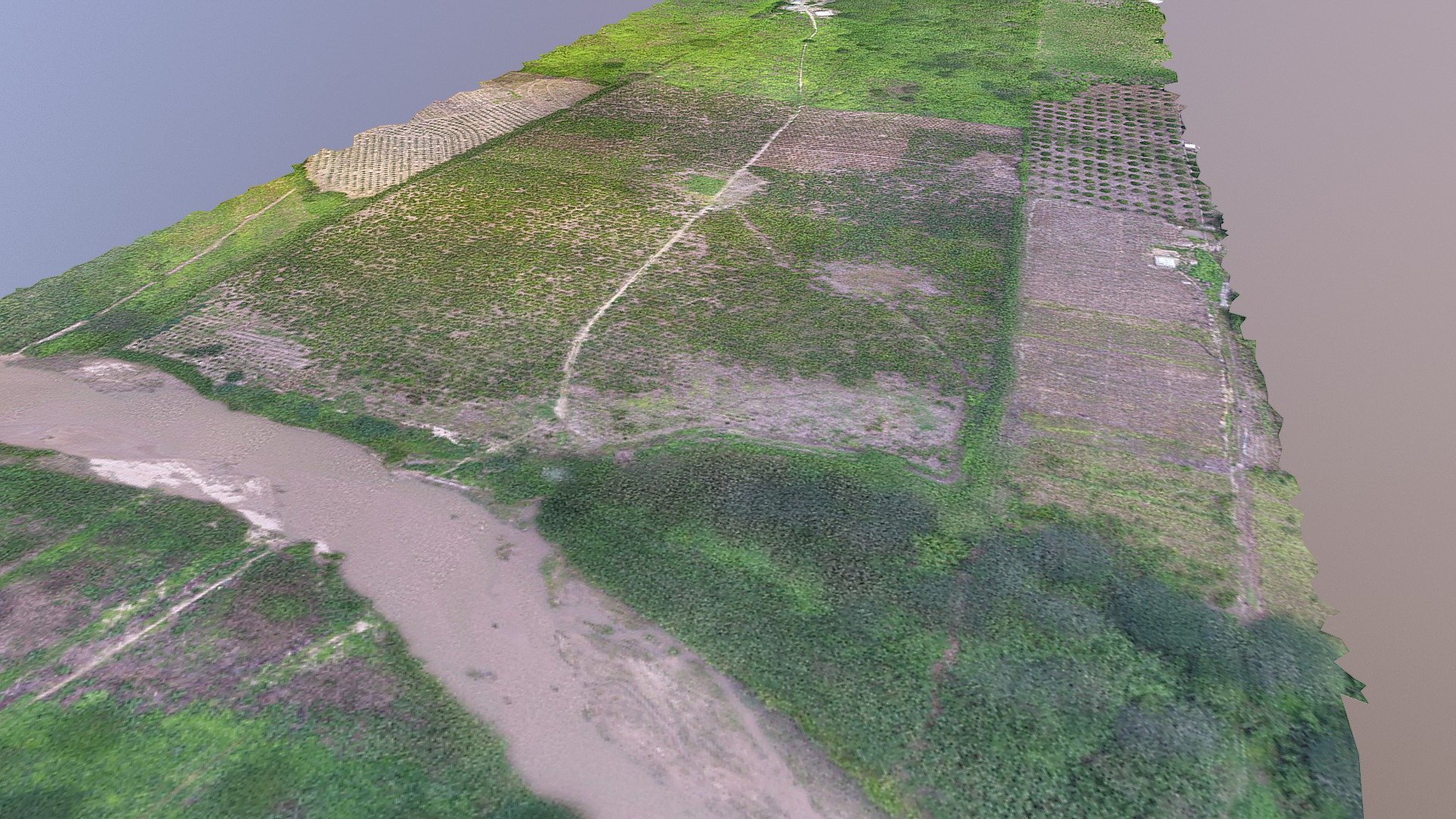
LEVANTAMIENTO TOPOGRAFICO PREDIO EL DORADO
sketchfab
Elevation through aerial photogrammetry and control points via Differential GPS.
Download Model from sketchfab
With this file you will be able to print LEVANTAMIENTO TOPOGRAFICO PREDIO EL DORADO with your 3D printer. Click on the button and save the file on your computer to work, edit or customize your design. You can also find more 3D designs for printers on LEVANTAMIENTO TOPOGRAFICO PREDIO EL DORADO.