Levantamento Planimetrico Cadastral
sketchfab
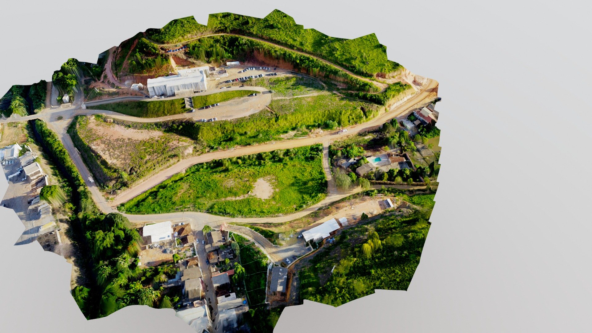
Cadastral survey supported by drone-based photogrammetry Survey conducted on April 9th, 2019. Ground Sample Distance: 2.1cm per pixel Number of images: 56 Flight altitude: 100 meters Control and verification points: 4 + 2 Total station and RTK GPS setup
Download Model from sketchfab
With this file you will be able to print Levantamento Planimetrico Cadastral with your 3D printer. Click on the button and save the file on your computer to work, edit or customize your design. You can also find more 3D designs for printers on Levantamento Planimetrico Cadastral.