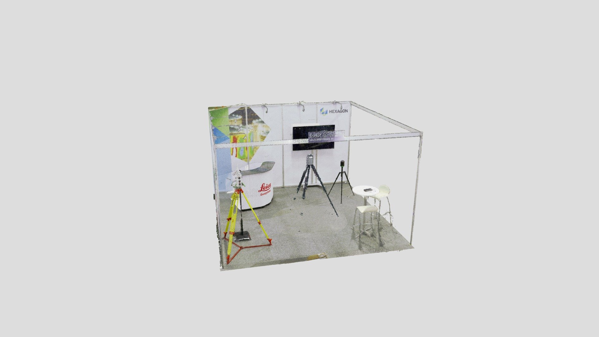
Leica Geosystems OTD2019
sketchfab
The Leica RTC360 and BLK360 scans are revolutionizing construction documentation by providing precise and accurate 3D models of buildings and structures. With its cutting-edge technology, this scanner delivers high-resolution images that capture every detail, from the smallest architectural feature to the largest structural element. Using advanced laser scanning technology, the Leica RTC360 quickly and easily captures a comprehensive picture of a project's physical space, allowing construction teams to accurately document existing conditions before making any changes. This level of accuracy ensures that all stakeholders have a clear understanding of what needs to be done and how it should be done. The BLK360 is another game-changing tool in the world of construction scanning. Its high-speed scanning capabilities allow it to capture incredibly detailed models, even in areas with limited access or difficult lighting conditions. This makes it perfect for capturing complex geometries and accurately documenting large-scale projects. Both scanners are designed to work seamlessly together, providing a complete and comprehensive view of any project's physical space. They also offer advanced software tools that make it easy to import and analyze data from various sources, including images, videos, and other scans. Whether you're working on a small renovation or a massive infrastructure project, the Leica RTC360 and BLK360 are must-have tools for anyone looking to create accurate and detailed 3D models of buildings and structures. With their ease of use, high accuracy, and advanced software capabilities, these scanners are changing the face of construction documentation forever.
With this file you will be able to print Leica Geosystems OTD2019 with your 3D printer. Click on the button and save the file on your computer to work, edit or customize your design. You can also find more 3D designs for printers on Leica Geosystems OTD2019.
