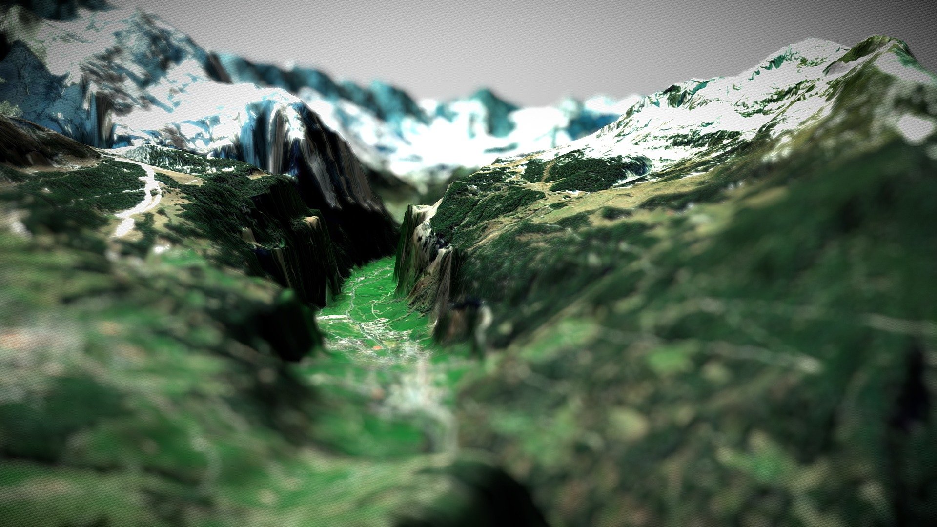
Lauterbrunnen Valley, Swiss Alps
sketchfab
The terrain was mapped using data from the DEM Net Elevation API, which is powered by elevationapi.com. The underlying topographic information was sourced from OpenTopography's SRTM_GL1 dataset. Satellite imagery provided by MapBox aided in visualizing the landscape.
Download Model from sketchfab
With this file you will be able to print Lauterbrunnen Valley, Swiss Alps with your 3D printer. Click on the button and save the file on your computer to work, edit or customize your design. You can also find more 3D designs for printers on Lauterbrunnen Valley, Swiss Alps.