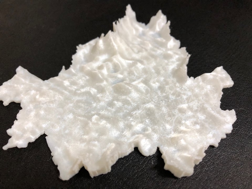
Landscape of Seoul
thingiverse
This is a stunning visual representation of Seoul's geographical terrain, brought to life through a rich data set sourced from the National Spatial Data Infrastructure (NSDI) platform. The Digital Elevation Model (DEM) provides a detailed and accurate 3D depiction of the city's landscape, allowing for a thorough understanding of its topography. This visualization has been projected using the Geodetic Reference System 1980 (GRS80) Universal Transverse Mercator (UTM) coordinate system, ensuring precise spatial analysis and mapping capabilities.
With this file you will be able to print Landscape of Seoul with your 3D printer. Click on the button and save the file on your computer to work, edit or customize your design. You can also find more 3D designs for printers on Landscape of Seoul.
