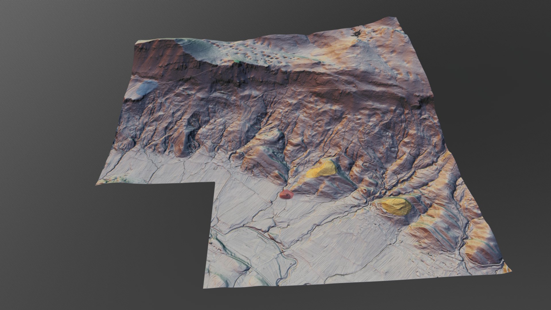
Landscape near village Kutezovo-Slovenia
sketchfab
In the southwestern corner of Slovenia, near the springs of the Reka river, lies a previously unexplored prehistoric landscape comprising hilforts and ancient agricultural systems that unfortunately cannot be seen in this visualization. This digital reconstruction was created using the planlau/TERRAIN software. To learn more about this innovative tool, visit https://www.planlauf.com/en/planlaufterrain/introduction/. The LiDAR data used to generate this model was provided by the Slovenian agency for waters at http://gis.arso.gov.si/evode/profile.aspx?id=atlas_voda_Lidar@Arso. This model is part of a collaborative effort between #FridayLiDAR and #HillfortsWednesday projects on Twitter.
With this file you will be able to print Landscape near village Kutezovo-Slovenia with your 3D printer. Click on the button and save the file on your computer to work, edit or customize your design. You can also find more 3D designs for printers on Landscape near village Kutezovo-Slovenia.
