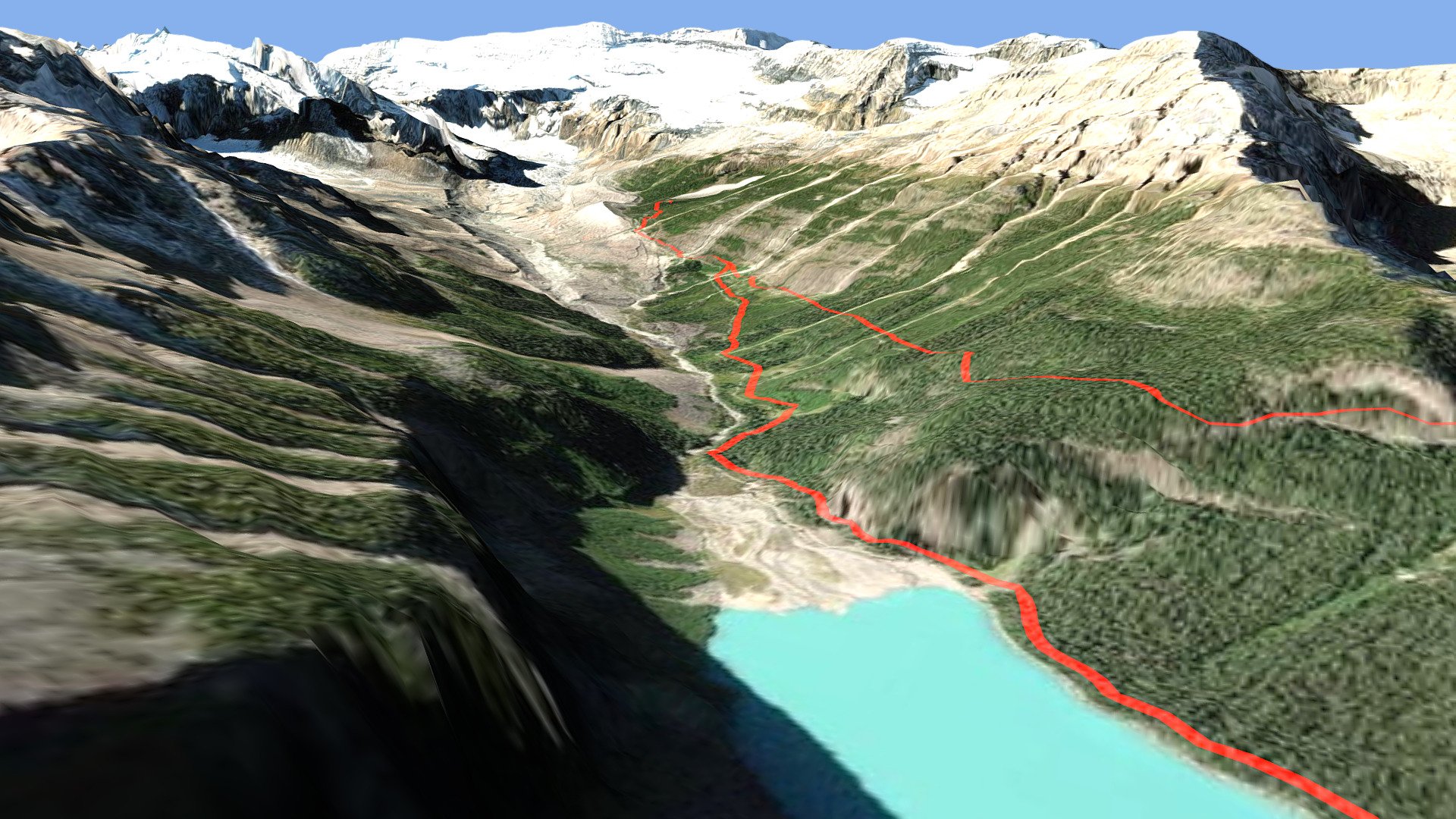
Lake Louise Hiking Trails
sketchfab
Hikers Explore Trails Around Stunning Lake Louise The trail network surrounding Lake Louise, a picturesque lake in the heart of Banff National Park, is meticulously mapped using cutting-edge technology. A DEM Net Elevation API serves as the foundation for this digital map, providing precise elevation data that enables hikers to navigate the terrain with ease. Developed by NASA and the US Geological Survey, the ASTER_GDEMV3 Digital Elevation Model offers a highly detailed representation of the land's topography, allowing hikers to plan their routes with confidence. Aerial imagery from Esri World Imagery provides an accurate visual representation of the landscape, giving hikers a clear understanding of the terrain and any potential hazards.
With this file you will be able to print Lake Louise Hiking Trails with your 3D printer. Click on the button and save the file on your computer to work, edit or customize your design. You can also find more 3D designs for printers on Lake Louise Hiking Trails.
