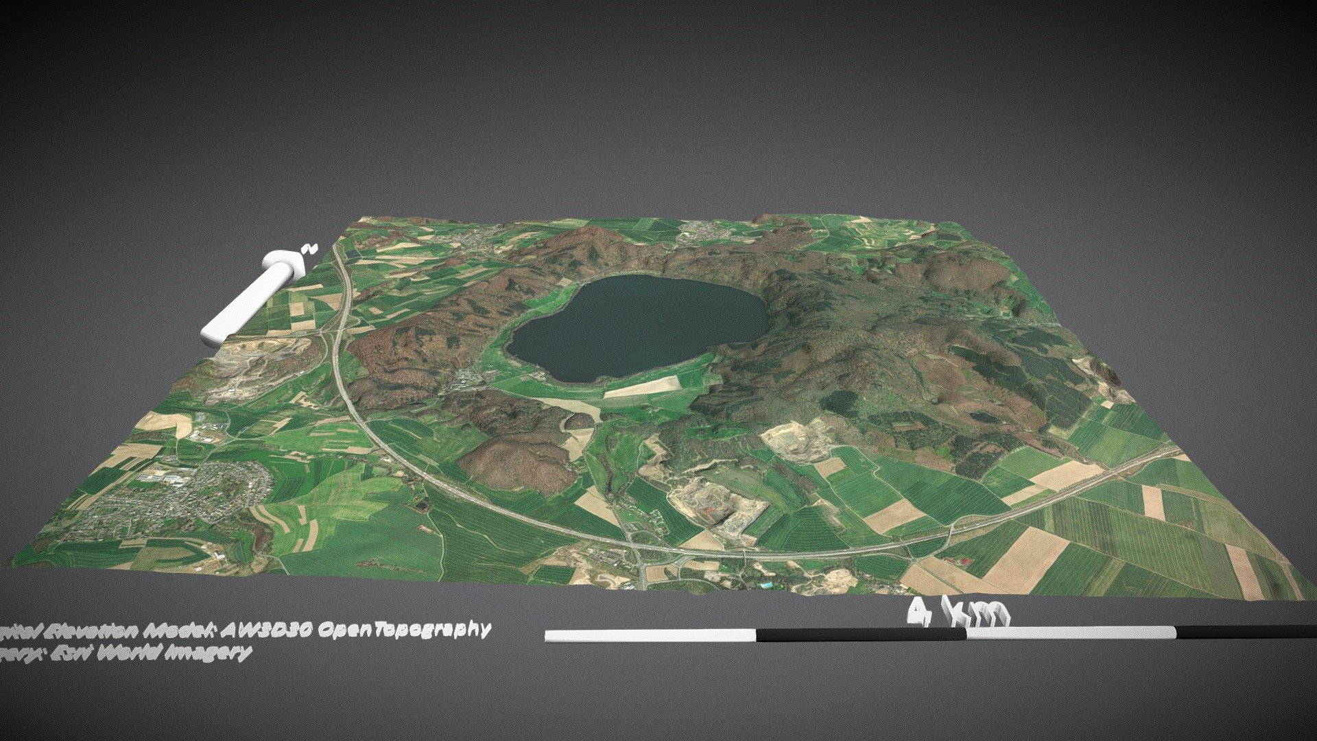
Lachersee, Rhineland, Germany (x2)
sketchfab
Net Elevation API Provider: DEM Net Elevation API Elevation Model Source: High-accuracy 30-meter AW3D30 from OpenTopography Base Map Layer: Latest Esri World Imagery for Global Coverage
Download Model from sketchfab
With this file you will be able to print Lachersee, Rhineland, Germany (x2) with your 3D printer. Click on the button and save the file on your computer to work, edit or customize your design. You can also find more 3D designs for printers on Lachersee, Rhineland, Germany (x2).