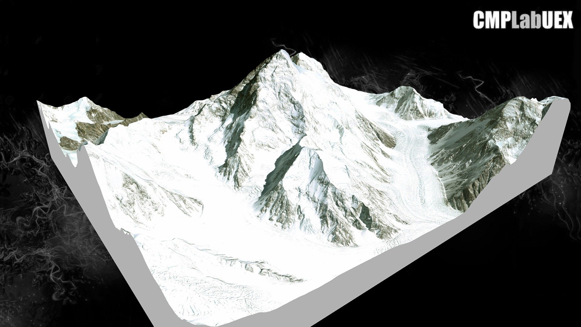
K2, Karakórum, Pakistán/China
sketchfab
K2 is a mountain in the Karakoram range that stands at 8,611 meters, making it the second highest mountain on Earth, after Mount Everest. This image was created using QGIS and Qgis2threejs. It's based on the ALOS Global Digital Surface Model (AW3D30) and an image from Landsat through the World Imagery service of ArcGIS online. To find this location, click here: https://osm.org/go/zy0olwTf-?layers=C&node=203443343. For more information, visit https://geo:35.8791,76.5145?z=14 and download the guide at https://tinyurl.com/y76md9bs to learn how it was made.
With this file you will be able to print K2, Karakórum, Pakistán/China with your 3D printer. Click on the button and save the file on your computer to work, edit or customize your design. You can also find more 3D designs for printers on K2, Karakórum, Pakistán/China.