Japan Prefecture Map Puzzle Pieces 1 /3
thingiverse
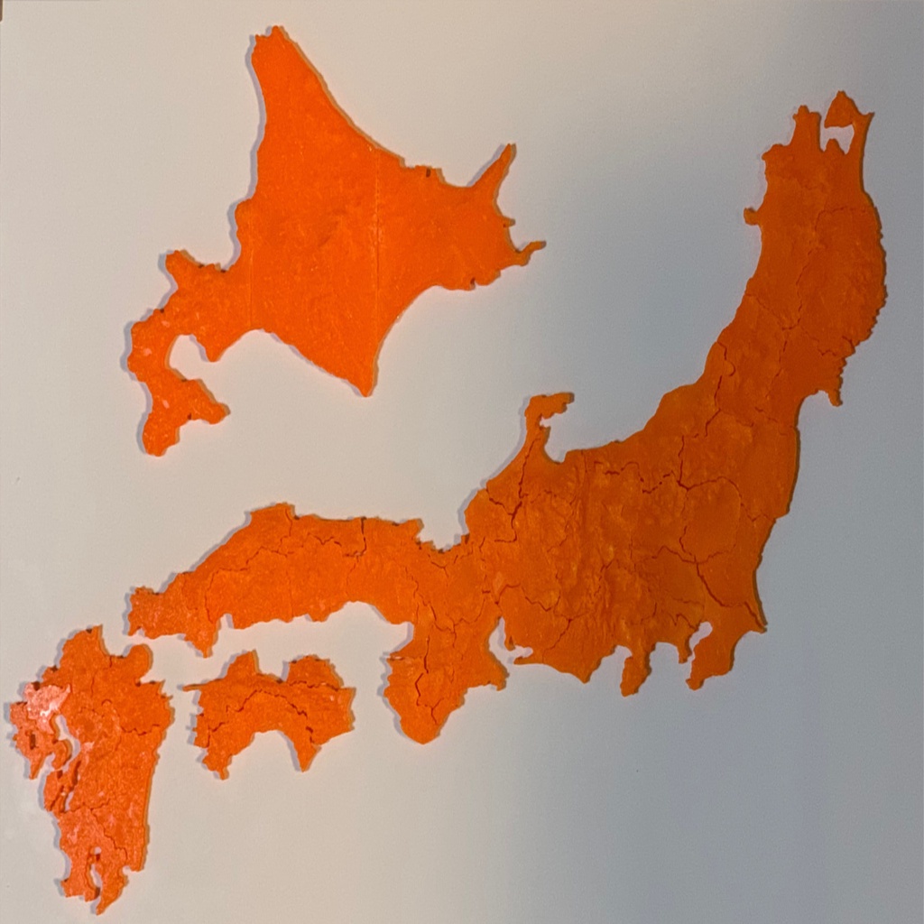
Japanese maps comprising every single prefecture. Each prefecture is represented on these maps. They are scaled 1/440000 vertically, 1/3052500 horizontally. The elevation data used were calculated from satellite observations by JAXA's artificial satellites. I employed a makeshift method to convert longitude and latitude into X-Y plane coordinates, which likely introduces some error into the shapes and sizes of these prefectures.
Download Model from thingiverse
With this file you will be able to print Japan Prefecture Map Puzzle Pieces 1 /3 with your 3D printer. Click on the button and save the file on your computer to work, edit or customize your design. You can also find more 3D designs for printers on Japan Prefecture Map Puzzle Pieces 1 /3.