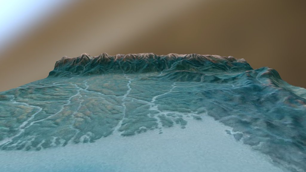
India, Bhutan, Bangladesh, Myanmar Relief Map
sketchfab
A tiny fragment of my comprehensive South Asian topography map, crafted from a NASA globe housed at EROS Data Center, showcases a minute portion of this vast region. The full-scale map I designed with similar precision encompasses the entire Himalayan range, every inch of the Indian subcontinent, all countries bordering the Persian Gulf, the Red Sea, and stretches eastward across southern China to Taiwan.
Download Model from sketchfab
With this file you will be able to print India, Bhutan, Bangladesh, Myanmar Relief Map with your 3D printer. Click on the button and save the file on your computer to work, edit or customize your design. You can also find more 3D designs for printers on India, Bhutan, Bangladesh, Myanmar Relief Map.
